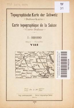
The collection of maps and atlases contains all kinds of Swiss cartographic documents. It also includes foreign maps where at least one-third of the territory shown belongs to Switzerland.
© Swisstopo / NL
Content and scope
- More than 45,000 maps and atlases
- Maps, plans, atlases, aerial photographs, panoramas
- Maps of Switzerland and also foreign maps where at least one-third of the territory shown belongs to Switzerland
- No restrictions in terms of subject-matter: topographic, geological and hydrological maps, maps of vegetation and cultural heritage, hiking and ski maps, orienteering maps, road and cycling maps are all included.
Collection principles
- Swiss or foreign authors
- Printed and digital formats
- Official topographic maps of Switzerland make up a large part of the collection.
- Maps of other countries issued by specialist Swiss publishers are also included.
- Limited collection of pre-1895 specimens. Retroactive purchase of all maps up to 1848
Research and access
- Documents listed in Helveticat
Last modification 27.11.2019